AUTODESK SHAPE
£349.00


Delivery digitally sent via email within a few minutes upon receipt of payment, these are ESD digital licenses, all product keys are original, they can be reinstalled on the same activation device. By purchasing this product, you will receive the digital software to download with an attached product key for software activation, including all instructions for a correct installation.
License used and discarded by the previous owner in accordance with the C.E. C-128/2011 judgment ( see )
![]() Multi language
Multi language
![]() Immediate Digital Delivery
Immediate Digital Delivery
![]() 24/7 support, also on Whatsapp
24/7 support, also on Whatsapp
![]() Reusable in case of formatting
Reusable in case of formatting
![]() Updates
Updates
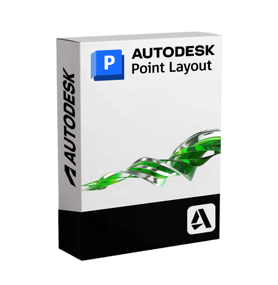
Autodesk Point Layout - Precision in Point Positioning for the Digital Construction Site
Autodesk Point Layout is a software dedicated to the automation of the Placement of reference points on BIM and CAD models , designed to ensure absolute precision during the construction phase. It is an essential tool for companies operating in the field. construction, plant engineering and structural , and wish to integrate their digital flows with topographic survey systems, reducing errors on site and improving operational efficiency.
Thanks to the compatibility with AutoCAD , Revit and Navisworks Point Layout allows you to automatically insert thousands of points into 2D/3D models, export them to robotic surveying tools, and compare the return data directly within the digital project. The result is a perfect synergy between design and reality, essential to ensure accuracy and quality at every stage of construction.
📌 Main features of Autodesk Point Layout
• Automatic insertion of layout points : Position intelligently reference points on key elements such as walls, columns, installations, foundations, anchors, and more.
• Direct compatibility with surveying tools : exporting points to devices such as total station, GPS and laser scanner for physical tracking on the construction site.
• Reconciliation of field data : Importing return data for comparison between constructed reality and model, highlighting any discrepancies 📉.
• Integrated workflows with Revit, AutoCAD and Navisworks The extension works directly in Autodesk software, allowing the generation of points directly in the BIM or CAD context.
• Customized filters and point grouping : automatic cataloging of points by discipline, level, area or project phase, facilitating field tracking.
• Checking elevation levels and actual coordinates : Ensures the consistency of topographic data and geospatial coordinates.
• Verification tools and reporting : export of lists, reports in CSV or Excel format for documentation and sharing with the construction site team 🧾.
• Interoperability with prominent Leica, Trimble, Topcon and other solutions : ease of integration with the most widely used topographic systems internationally.
🔄 Integrated workflow and collaboration
Point Layout allows designers, builders, and surveyors to work in a single continuous flow, eliminating manual surveys, reducing rework, and ensuring the digitally constructed in accordance with the project The software is ideal for implementing methodologies. BIM-to-Field and Field-to-BIM , improving communication between the technical office and the construction site 🏗️.
💻 System Compatibility and Requirements
🖥️ Supported Operating Systems :
• Windows 10 / 11 (64-bit)
Autodesk Point Layout is not available in a native version for macOS, but it can be used on Mac through virtualized environments such as Parallels Desktop , VMware Fusion You didn't provide any text to translate. Could you please provide the text in Italian that you want translated into English? Boot Camp (for Intel-based Mac).
🔧 Recommended minimum requirements :
• CPU : Intel Core i5 / i7 or equivalent AMD, multicore
• RAM : at least 8 GB (16 GB or more recommended for complex models)
• GPU : video card compatible with DirectX 11, minimum 2 GB VRAM
• Required Software : Autodesk Revit, AutoCAD or Navisworks (versions compatible with the Point Layout extension)
• Disk Space : at least 10 GB available for installation and project management
• Internet Connection Request for activation and updates of the ☁️ license
👥 Who is Autodesk Point Layout suitable for?
This software is particularly useful for:
• Construction companies who work in the structural and plant engineering field, and require precise field markings
• Designers and technical studios that work on BIM projects and want to ensure alignment between model and construction
• Topographers and surveyors that integrate 3D models into their survey and restitution workflows
• MEP Installers (mechanics, electricians, plumbers) who need to accurately position supports, anchors and ducts.
• BIM Coordinators and Site Technicians involved in the control of tolerances and in the verification of alignment during the execution phase.
✅ Autodesk Point Layout is the ideal solution for those who want to bring the Accuracy of the digital project directly on the field Automates complex processes, reduces the margins of human error and provides an effective platform to ensure that every element is built where it needs to be, when it needs to be.
10 other products in the same category: