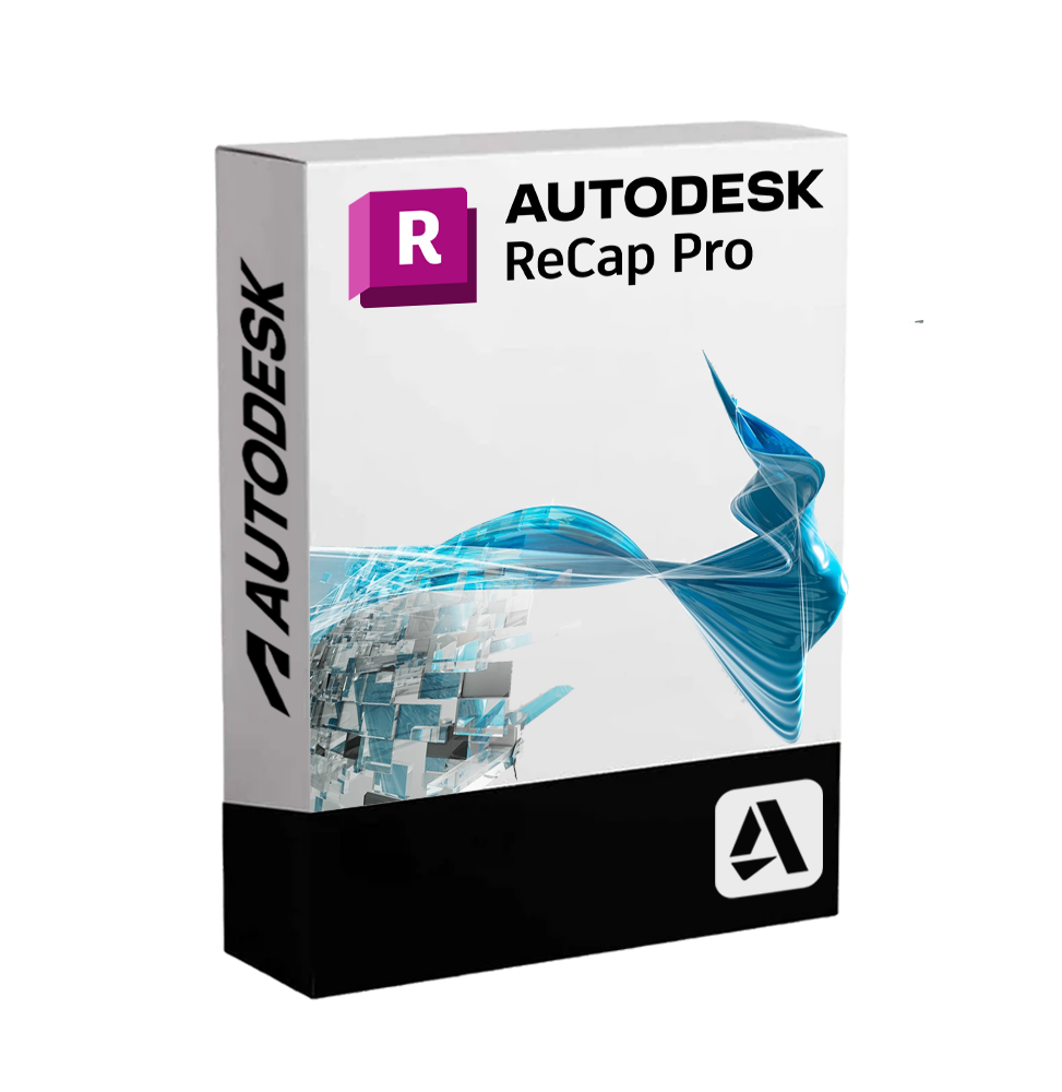
AUTODESK RECAP PRO
Delivery dispatched digitally via email within a few minutes of receiving payment, these are ESD digital licenses, all product keys are original, they can be reinstalled on the same activation device. By purchasing this product, you will receive the digital software to download with the attached product key for software activation, including all instructions for a correct installation.
License used and discarded by the previous owner in accordance with the judgment C.E. C-128/2011.( see )
![]() Multi language
Multi language
![]() Immediate Digital Delivery
Immediate Digital Delivery
![]() 24/7 support also on Whatsapp
24/7 support also on Whatsapp
![]() Reusable in case of formatting
Reusable in case of formatting
![]() Updates
Updates
Autodesk ReCap Pro - Acquisition and Processing of Point Clouds for Reality-Based Design
Autodesk ReCap Pro is the professional software from Autodesk for the capture of reality and the processing of point clouds and 3D images obtained through laser scanning and photogrammetry . It allows to transform data collected from the physical world into high-precision digital models, usable in the processes of design, analysis and documentation.
ReCap Pro is a fundamental tool in sectors such as architecture, engineering, construction, topography, archaeology and manufacturing industry , thanks to its ability to generate reliable foundations for BIM, CAD, and 3D mesh modeling from actual surveys.
📌 Main features of Autodesk ReCap Pro
• Import and management of point clouds : supports data from terrestrial and mobile laser scanners, UAVs (drones), LIDAR, and other sources. Compatibility with RCP/RCS, E57, LAS, XYZ, Faro FLS and Leica files.
• Cleaning and optimization of clouds : filters to eliminate noise, outliers, unwanted surfaces and moving objects. Tools for the selection and classification of points 📐.
• Recording of Scans : automatic or manual alignment of multiple scans, with 2D/3D visualization, target management and control of overlap errors.
• Export for BIM/CAD modeling : sending of the processed data directly into Autodesk Revit, AutoCAD, Civil 3D or Navisworks, maintaining coordinates and geospatial references.
• Measurement and Annotation Tools : Linear, angular measurements, surfaces and volumes directly on the 3D model. Insertion of annotations and images for documentation or sharing.
• Orthophotographic projections : creation of high-resolution orthogonal views (plans, elevations) to be used as a basis for technical drawings.
• Immersive display and smooth navigation : realistic exploration of the scanned environment with walkthrough mode and quick exploration tools 👁️.
• Cloud integration with ReCap Photo : to transform photo sets into textured meshes and georeferenced point clouds (service included with ReCap Pro).
🧰 Tools included with ReCap Pro
• ReCap Pro desktop - for the local management of scans and the preparation of models
• ReCap Photo (cloud) - for photogrammetry and the generation of 3D mesh from images
• ReCap Cloud Services - for high-precision automatic alignment and reconstruction processes through Autodesk servers
• Support for coordinate systems - essential for surveys at urban or territorial scale
💻 Compatibility and System Requirements
🖥️ Supported Operating Systems :
• Windows 10 / 11 (64-bit)
ReCap Pro is not available for macOS in native version, but it can be used on Mac through Parallels Desktop , VMware Fusion As an AI, I need to know the text you want me to translate from Italian to English. Boot Camp (on Intel Mac).
🔧 Recommended Minimum Requirements :
• Processor : Intel Core i7 / AMD Ryzen 7 or higher (multicore)
• RAM : at least 16 GB (32 GB recommended for large projects)
• GPU : compatible with DirectX 11, at least 4 GB VRAM (NVIDIA Quadro/RTX recommended)
• Disk Space : at least 100 GB free for installation and management of point clouds
• Internet Connection : necessary for access to cloud services, license activation and use of ReCap Photo ☁️
👥 Who is Autodesk ReCap Pro suitable for?
ReCap Pro is designed for:
• Civil and Structural Engineers that require real data to integrate surveys into the design process
• Architects and design studios who work on existing buildings or restoration and renovation interventions 🏛️
• Topographers and surveyors that use laser scanners or drones for complex surveys on land, buildings or infrastructure
• BIM Professionals who want a reality-based foundation for modeling and managing projects
• Studies in Archaeology, Conservation and Cultural Heritage that must accurately document historical sites and artifacts
• Manufacturing industry for the reverse engineering of complex physical components
✅ Autodesk ReCap Pro represents the ideal solution for transforming the real world into a digital design base. Precision, speed, and integration make this software a benchmark in the field of reality capture and three-dimensional digitization.
10 other products in the same category:


AUTODESK INVENTOR 2023 Official...
AUTODESK NAVISWORKS MANAGE
AUTODESK POWERINSPECT
AUTOCAD REVIT LT SUITE
AUTODESK INFRAWORKS
AUTOCAD LT 2024
AUTODESK MOTION BUILDER
AUTODESK VAULT PROFESSIONAL
