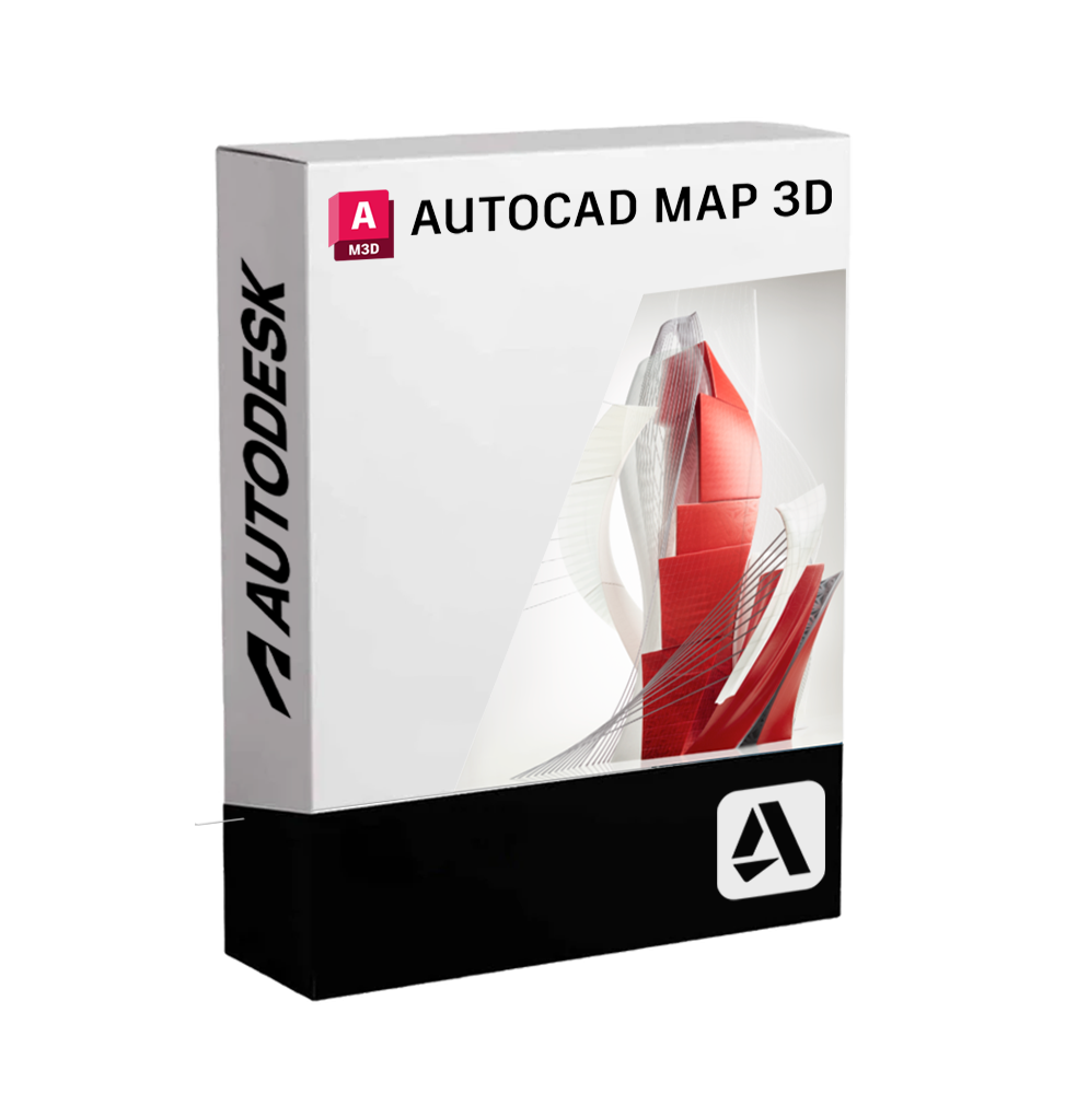
AUTODESK AUTOCAD MAP 3D
Expedition delivered digitally via email within a few minutes of receiving payment, it is about ESD digital licenses, all product keys are original, they can be reinstalled on the same activation device. By purchasing this product you will receive the digital software to download with the attached product key for the activation of the software, including all the instructions for a correct installation.
License used and discarded by the previous owner in accordance with the judgment C.E. C-128/2011.( see )
![]() Multi language
Multi language
![]() Immediate Digital Delivery
Immediate Digital Delivery
![]() 24/7 support also on Whatsapp
24/7 support also on Whatsapp
![]() Reusable in case of formatting
Reusable in case of formatting
![]() Updates
Updates
Autodesk AutoCAD Map 3D is a powerful software solution that integrates advanced GIS (Geographic Information System) functionalities with the precision of CAD design. It is designed to provide comprehensive mapping, modeling, territorial analysis, and infrastructure management tools, combining spatial data and engineering information on a single platform. This software allows for direct work with geographic and topographic data, improving the accuracy of planning, design, and management of territorial resources.
AutoCAD Map 3D is particularly suitable for professionals working in the fields of civil engineering, technological network management, public administration, urban planning, and public service companies.
🌍 Main features included
• Integration between GIS and CAD
It allows you to import, modify and analyze geographic data from GIS systems and spatial databases directly within the AutoCAD environment. It supports formats such as ESRI SHP, Oracle Spatial, PostgreSQL/PostGIS, WFS, WMS and other OGC standards.
• 📌 Geolocation and coordinate projections
It is possible to georeference CAD drawings on real coordinate systems, set up custom geographic projections, and overlay data from various spatial sources.
• 🧩 Modeling of infrastructures and technological networks
AutoCAD Map 3D allows the design and management of complex networks (aqueducts, sewers, electricity, gas, telecommunications), with tracking, simulation, topological analysis, and management of connections between components features.
• 🗺 Thematic Cartography and Advanced Symbolism
Dedicated tools for creating personalized thematic maps based on alphanumeric data, defining symbologies, display styles, and dynamically theming spatial information.
• 📊 Geospatial Analysis
It includes tools for analyzing territories, calculating surfaces, distances, buffers, detecting overlaps, generating altimetric profiles, and identifying critical or areas of interest.
• 🔄 Connection to database and real-time update
Possibility to connect directly to spatial databases to modify, query and update territorial data without conversions or exports, maintaining a consistent data flow.
• 📑 Automatic creation of reports and cartographic outputs
Quickly generates tables, print layouts, and analytical reports based on the data contained in the models, useful for decision-making, urban planning, or engineering purposes.
💻 Compatibility and Operating Systems
AutoCAD Map 3D is available exclusively for Windows operating systems A native version is not expected for macOS , however it is possible to use the software on Mac through virtualization with tools like Parallels Desktop , VMware Fusion or through Boot Camp (for systems with Intel processor).
⚙️ Recommended hardware requirements
To ensure a smooth and responsive experience, especially during the processing of large geospatial datasets, a high-end configuration is recommended:
• Operating System : Windows 10 or 11 (64 bit)
• Processor : Multi-core of at least 3.0 GHz (recommended Intel Core i7 or AMD Ryzen 7)
• RAM : Minimum 16 GB (32 GB recommended)
• Graphics card : Compatible with DirectX 12, at least 4 GB of VRAM (professional GPU like NVIDIA Quadro preferred)
• Disk Space At least 10 GB available for installation
• Screen Resolution : 1920x1080 or higher
👨💼 Who is AutoCAD Map 3D suitable for
• Urban planners and territorial planners
Ideal for those who manage complex territorial data, model urban scenarios, and support the planning of new settlements and infrastructure.
• Civil and Environmental Engineers
Useful in the design of public works, technological networks and environmental impact studies, thanks to the integrated geospatial analysis functions.
• 🏢 Public utility companies and network operators
Perfect for managing water, electric, gas or telecommunications distribution networks, with tools for mapping, monitoring and network analysis.
• Public entities and local administrations
AutoCAD Map 3D allows you to view, analyze and document territorial data effectively, promoting urban and infrastructural decisions based on precise and georeferenced data.
🧭 Conclusion
AutoCAD Map 3D represents the perfect blend between the power of CAD technical drawing and the versatility of GIS systems. It allows you to professionally and accurately address all challenges related to land management, networks and infrastructure. With its advanced tools for spatial analysis and modeling, it is the reference tool for professionals working in the field of geoinformatics, civil engineering and territorial planning.
10 other products in the same category:


AUTODESK SHAPE
AUTODESK VEHICLE TRACKING

AUTODESK 3DS MAX 2025

AUTODESK POWERSHAPE ULTIMATE

AUTOCAD CIVIL 3D 2024

AUTODESK NETFABB PREMIUM

AUTODESK INVENTOR


